A month or two ago your Kidical Mass team was very worried. We were alerted by Cllr Rob White, who sits on the Housing Neighborhood and Leisure committee, that a new Public Services Protection Order (PSPO) was being considered, and it had some wording around ebikes and escooters.
The proposed wording would have given police the power to stop anyone riding an ebike or escooter “antisocially”. Now, we’re all in favour of everyone travelling in a way that respects others, regardless of transport mode, but we’ve also all been in situations where we’ve been accused of being antisocial simply because someone doesn’t like bikes.
Yelled at for riding considerately on a shared path where pedestrians don’t understand that the signage means we’re allowed to ride there. Yelled at for holding a position on the road that means a driver can’t force an unsafe overtake. Sometimes yelled at for simply existing on a bike.
So it worried us greatly that this PSPO would hand power and a stick to those who just want fewer bikes around. The consultation had not yet gone live so we reached out to Cllr Karen Rowland who was named as lead councillor expressing our concerns. We were pleased when she responded acknowledging our point and offered to meet to discuss.
It was an exceedingly productive discussion in which she listened to us and shared their thinking around the issue – the councillors also had concerns. The upshot was that the wording to go to consultation was that enforcement was to be targeted at those causing “alarm, harassment or distress” on ebikes or escooters, which we feel is much more appropriate.
We also had a chance to discuss escooters and the “safety in numbers” effect – there is a study by the University of Bristol which shows that where escooter use goes up, accidents between cyclists and drivers go down – this is hardly surprising given that drivers become more accustomed to sharing the road. So although escooter usage on public land is currently illegal we asked the council to bear that in mind for future legislation.
We would encourage everyone to respond to the PSPO consultation. Kidical Mass feels the wording around ebikes is reasonable (and, as an organisation, cycling is the only element we have opinions on). However, some of the committee members have concerns in a personal capacity around the wording on begging and whether this goes too far – would it stop a homeless person from resting quietly in an empty doorway? Is that right? Read it and see what you think and let the council know.
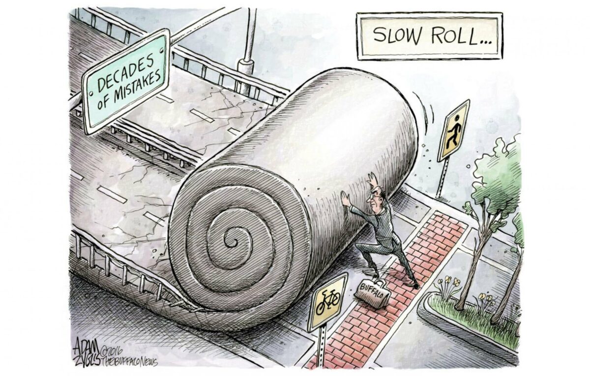
The existence of the PSPO, however, raises a much bigger question on proportionate action.
In a world where drivers have killed four people in Reading’s roads in the last few months, why is additional enforcement not also being taken against dangerous driving? Where is the action on pavement parking, or close passes, or speeding, or driving whilst looking at a phone?
The answer seems to be that the squeakiest wheel gets the oil – the PSPO has been brought in as a response to the volume of complaints received.
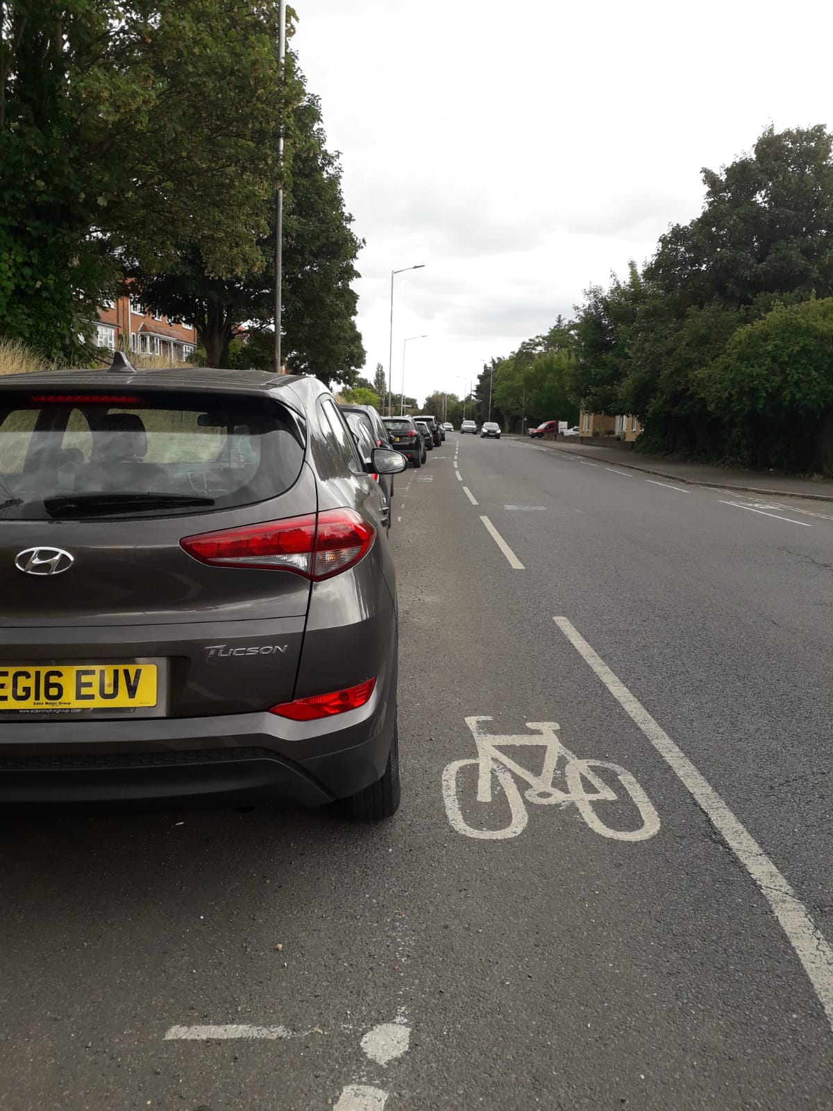
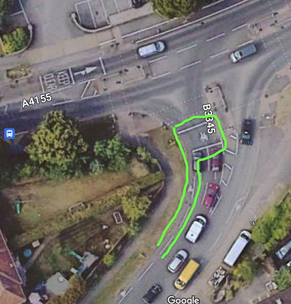
I know that many of us have given up reporting bad driving because the bar for any action to be taken seems to be unreasonably high. Refusals to investigate situations where a driver has crossed a pavement and nearly hit a child because there is no camera evidence (even when there are impartial witnesses willing to speak up). Refusals to accept video evidence because the camera was on the head of the adult behind the child who was close passed and not the child themselves. Systems that say certain things can be reported online (e.g. lorries parked on keep clear lines near a school) but have no option for that when you actually try to do it.
But it seems we must show police and councillors that there is a problem if they are to consider more creative action. Even if they don’t take action on individual cases it helps build a picture of what behaviour is causing problems.
So, to those of you who have always reported bad driving, thank you for doing your bit to ask for safer roads. For the rest of us, we need to start complaining more about the dangerous driving we see on our roads. The options are police 101 (phone or online) or your ward councillors or the council’s antisocial behavioural team .
Let’s use our voices to ask the council and police to focus on the real dangers that threatens our roads.